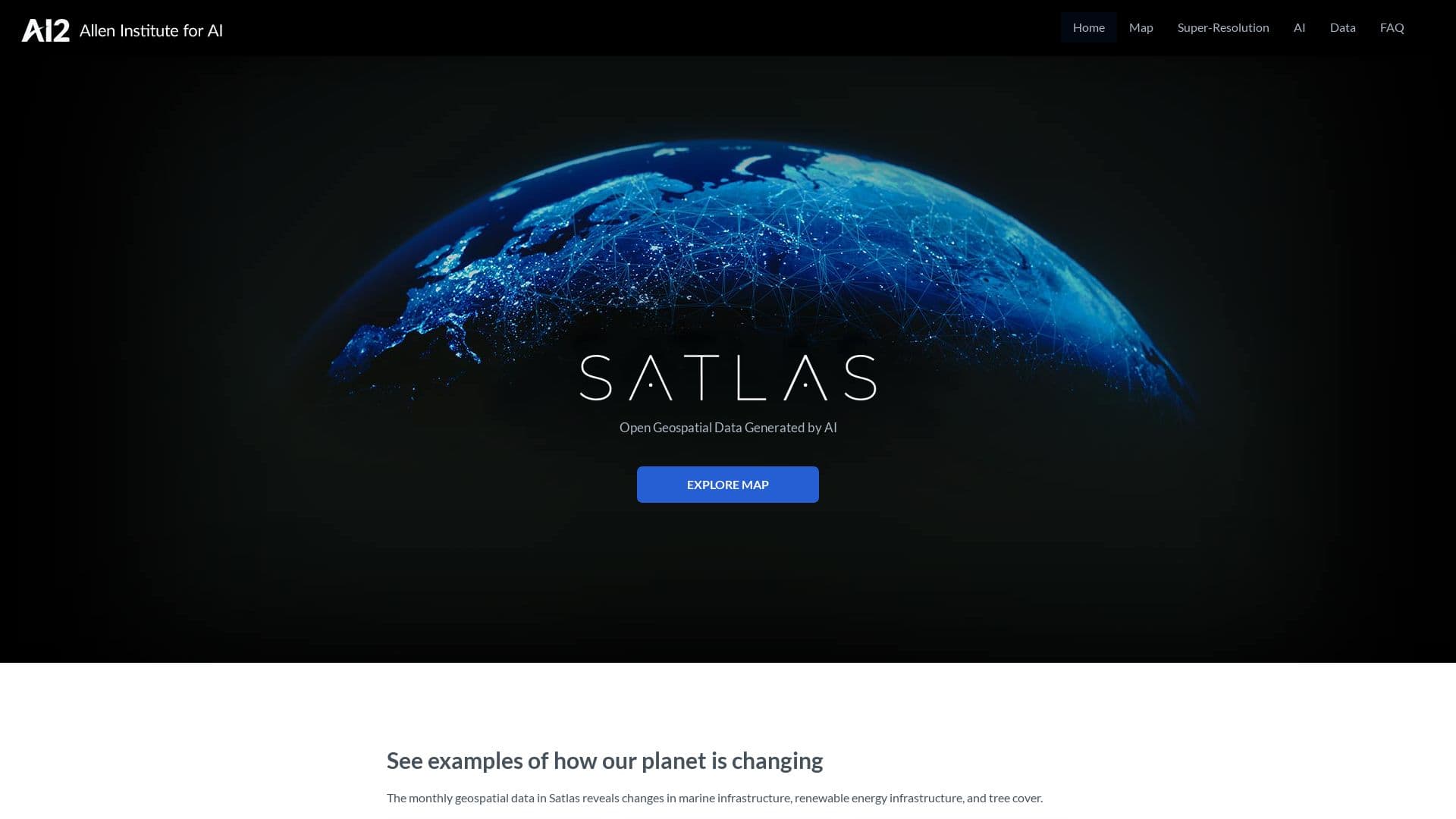
Satlas | AI Satellite Imagery Shows Planet’s Changes
Get accurate insights on renewable energy and tree cover with Satlas. Enjoy freely available data, monthly updates, and…
- Upvote:
- Research
Get accurate insights on renewable energy and tree cover with Satlas. Enjoy freely available data, monthly updates, and…
Satlas is an innovative platform developed by the Allen Institute for AI that leverages artificial intelligence to analyze satellite imagery and generate geospatial datasets. This tool provides users with access to up-to-date information about various environmental factors, such as renewable energy infrastructure and tree cover. By applying advanced deep learning models to satellite images from sources like Sentinel-2, Satlas can extract and visualize data with remarkable accuracy. The platform aims to support a wide range of applications, from urban planning to disaster relief, by making critical geospatial data easily accessible.
AI-Driven Insights: Utilizes deep learning to analyze satellite images, ensuring high accuracy in data extraction.
Freely Available Data: Offers geospatial datasets under an open license (ODC-BY) for public use and offline analysis.
Monthly Updates: Regularly refreshes its datasets, providing the latest information on marine and renewable energy infrastructure.
Diverse Data Products: Currently includes data on offshore wind turbines, solar farms, and tree cover percentages.
User-Friendly Interface: Features a web-based platform that allows users to visualize data easily and download datasets.
Open Training Data: Releases labeled training examples and model weights to foster further research and development.
Future Expansion Plans: Intends to add more geospatial products, including urban land use and crop types, enhancing its utility.
Environmental Monitoring: Supports efforts in emissions reduction, urban planning, and disaster response through timely data.
Integration with Other Tools: Works alongside other platforms from the Allen Institute for AI, enhancing its functionality.
Community Engagement: Actively seeks collaboration with researchers and developers to build upon its geospatial data products.
Monitoring renewable energy infrastructure growth.
Assisting in disaster management and recovery efforts.
Supporting urban planning and development projects.
Analyzing environmental changes over time.
Enhancing research in climate change and sustainability.
Providing data for academic and governmental studies on land use.


Leave a Reply